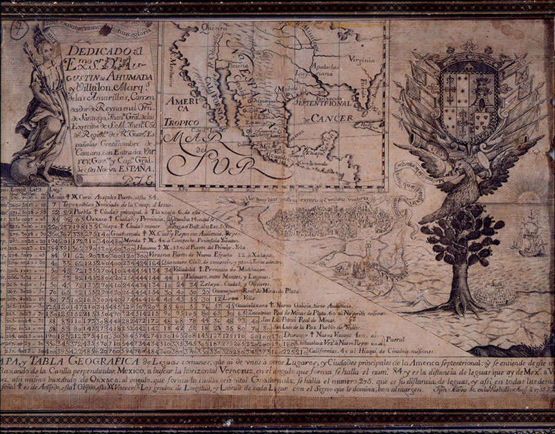
Plano geográfico de las tierras de la Hacienda de San Diego
Joaquín de Osonsoro y Herrera
More from the collection
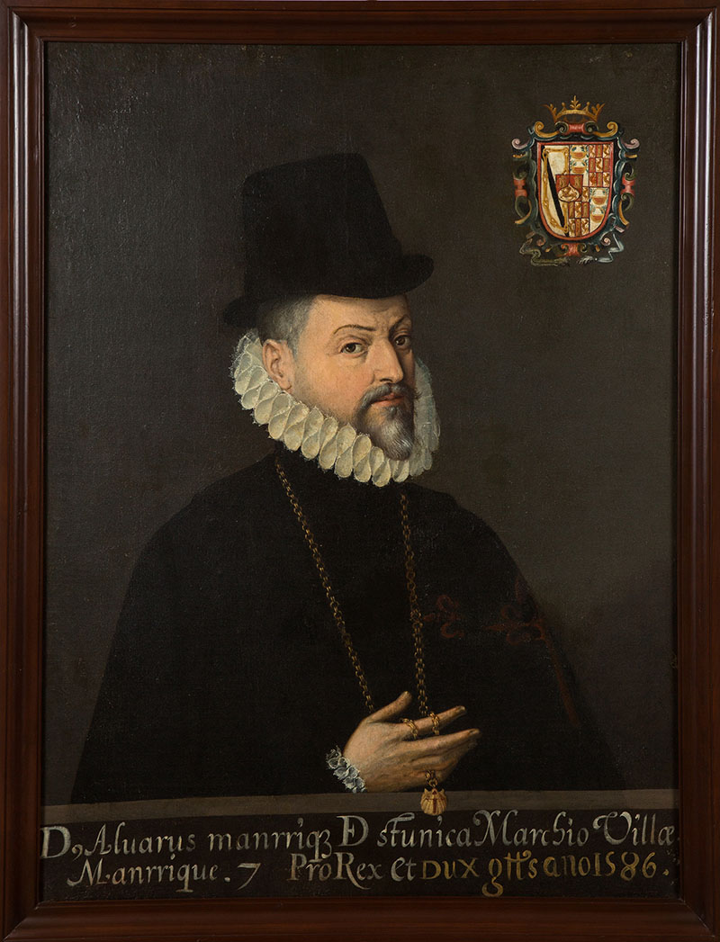
Virrey Álvaro Manrique de Zúñiga
Museo Nacional de Historia
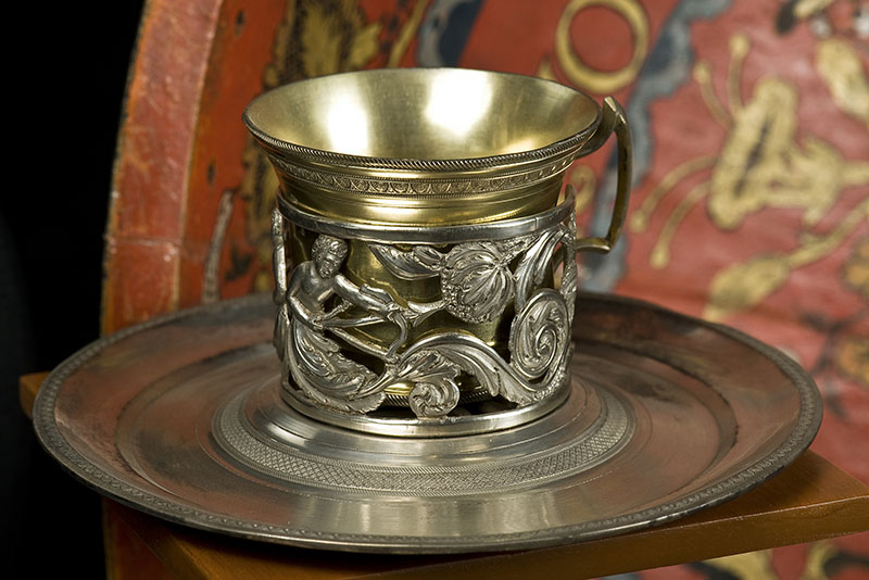
Mancerina con taza
Museo Nacional de Historia
Plano geográfico de las tierras de la Hacienda de San Diego
| Data Sheet | |
|---|---|
| Title | Plano geográfico de las tierras de la Hacienda de San Diego |
| Creator | Joaquín de Osonsoro y Herrera |
| Type object | Mapa |
| Institution | Museo Nacional de Historia |
| Collection | Pintura, escultura, dibujo, grabado y estampa |
| Dimension | 84.5 cm alto x 61.3 cm ancho |
| Available formats | JPG |
| Media | Imagen |
| Copyright | Patrimonio de la nación o dominio público |
| Copyright permission | Restringido |
| Identifier | oai:mexicana.cultura.gob.mx:0001303/0000208 |
Annotations
What are the annotations?
The annotations seek to improve and enrich the information of each of the digital objects that are available in Mexicana. In case you know relevant data about this specific object, we invite you to participate by adding and sharing this information, which will go through a validation process before being visible on the platform. Thank you very much for your annotation!
REGISTROS RELACIONADOS


CREA TUS COLECCIONES
REGÍSTRATE PARA GUARDAR TUS FAVORITOS
Secretaría de Cultura, 2017. All rights reserved.


